Seasons and sea state
Ships and traffic: the straight lines on the Minch
Between the wildlife records runs a working sea. Ferries on the timetable, freight on the chart, fishing boats on their grounds: the traffic is part of the record.
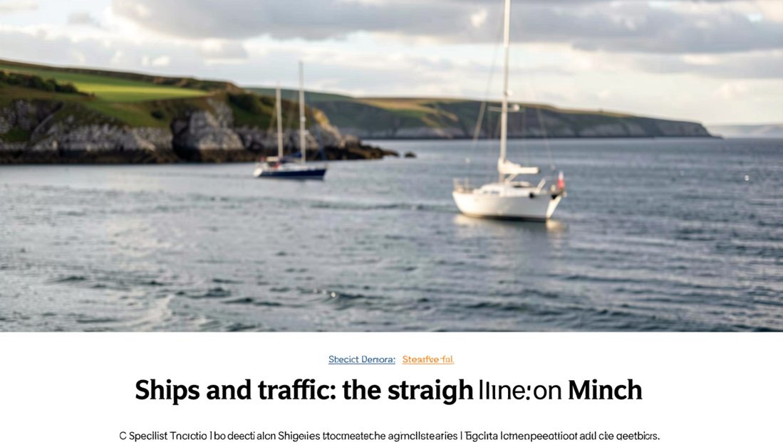
Every long watch on the Minch records two populations at once: the animals that surface and the ships that never do. The straight lines on the horizon, the ferries on their timetable and the freight on the chart, are as fixed a feature of the water as any tidal race, and a watcher who logs them ends the day with half the picture. Scottish marine assessment work, published through Marine Scotland, treats vessel traffic as a described, mapped layer of these waters, and the shore is where that layer and the animals can be watched meeting.
The same attention runs through the working maritime world. A maritime shipping decisions journal from the Eitzen Group reads vessel movements as choices with reasons, route, speed and schedule, and the view from a headland is simply the shore end of the same ledger.
What does the timetable give a watcher?
The ferry routes across the Minch run to published schedules, which makes them the one part of the traffic a watcher can know in advance. A crossing expected at a known hour is a calibration: it fixes the scale of the horizon, checks the binoculars against a target of known size, and confirms that the visibility box on the form is honest.
The scheduled ships also give the watch its quiet periods. Between two crossings the water belongs to the animals, and a watcher who plans the sector around the timetable gets cleaner ten minute blocks without giving the traffic a second thought.
Freight, and the ships nobody timetabled
The cargo ships and tankers on the Minch routes do not appear in any leaflet, and they are the reason a watch should note traffic even when it feels irrelevant to the day’s list. A vessel on the horizon at six miles holds its bearing for the length of a watch, and the species record gains nothing from it while the effort record, the honest description of what the sea was doing, gains a fact.
The habit is light: one line in the margin per transit, hull type and bearing, no more. The point is not to run an inventory from the cliff. It is to keep the record’s description of the water true, and a sea described without its traffic is a sea that was not watched properly.
Why does noise belong in a wildlife record?
Because sound is the sense these animals use the way sight is ours. The Sea Watch Foundation and the Hebridean Whale and Dolphin Trust both list vessel disturbance among the pressures on cetaceans in these waters, and a shipping lane is, underwater, a place that hums. A watcher cannot measure the noise from a cliff, but a watcher can note the fact that matters: how many engines passed, and whether the animals used the water while they did.
Over a season those marginal notes turn into something the record can use. A bay that holds porpoise between the ferries and empties during the fishing fleet’s week is telling its own story, and only a shore record with traffic in the margin can tell it.
How close the animals come to the lanes
Closer than the sight of the traffic suggests. Harbour porpoise are recorded throughout coastal regions and among the highest European numbers are found in Hebridean waters, and the same coastal shelf carries the ferry routes. Minke whale feed where the tide gathers food, and tide and traffic lanes cross without consulting each other.
The sight that stays with a watcher is a whale surfacing between two transits, unbothered, the ships too far away to matter and too regular to ignore. Both facts belong on the form. The animal belongs in the species column; the ships belong in the margin; the sea was carrying both.
What the fishing boats are doing
The third layer moves with the weather and the season. Creel boats work the inshore ground close enough to show their hauls, trawlers work further out, and a pair on the same bearing for an afternoon marks ground worth noting: where boats work, the food gathers, and where the food gathers the animals follow.
The Trail’s site pages ask nothing about boats, but every experienced watcher uses them as signposts. A feeding association noted honestly, birds, boats and whales in one patch of water, is one of the few reliable shortcuts the Minch offers.
Keeping the two records honest
The discipline is the separation. Species on the species line, traffic in the margin, conditions at the head of the form, and never the temptation to turn a good ship day into an animal count. The journal keeps no boats of its own, and a record that reads the working sea fairly is stronger, not weaker, for it.
A watcher who logs the straight lines along with the blows ends the season able to answer the question every coast is asked: what uses this water? The honest answer on the Minch has two halves, and both of them are worth writing down.
Since this entry, the log has opened further: on the flask and the food of a long watch, which turns to the other half of standing on a headland all day.
Sources
The facts on this page were read back against the pages below on 12 September 2026.
- Marine Scotland, marine assessments and vessel traffic layers for Scottish waters, consulted 12 September 2026.
- Hebridean Whale and Dolphin Trust, species profiles and notes on vessel disturbance.
- Sea Watch Foundation, recording form guidance and effort notes.
- Hebridean Whale Trail, site pages for shore based conditions.